
Harness the power of geospatial intelligence to plan better,
govern smarter, and serve citizens with impact.
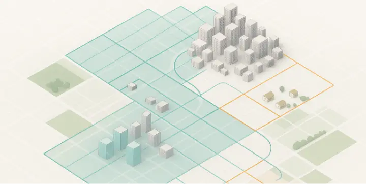
Deliver high-precision maps and layered data sets that empower smarter city planning, land management, utilities optimization, and rural development.
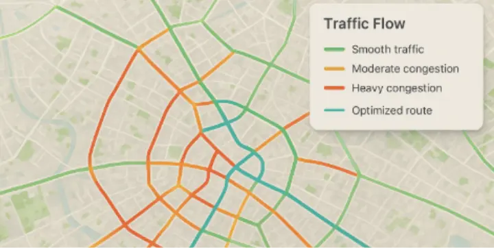
Transform live mobility data into intelligence that reduces traffic, boosts public transport, and powers greener mobility.
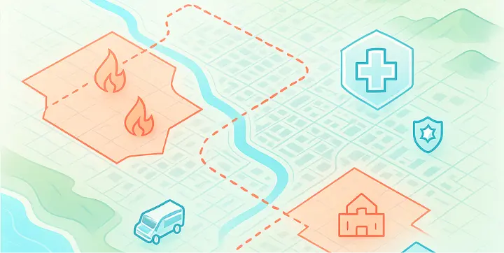
Real-time location intelligence and predictive mapping for disaster preparedness, monitoring, and faster emergency response.
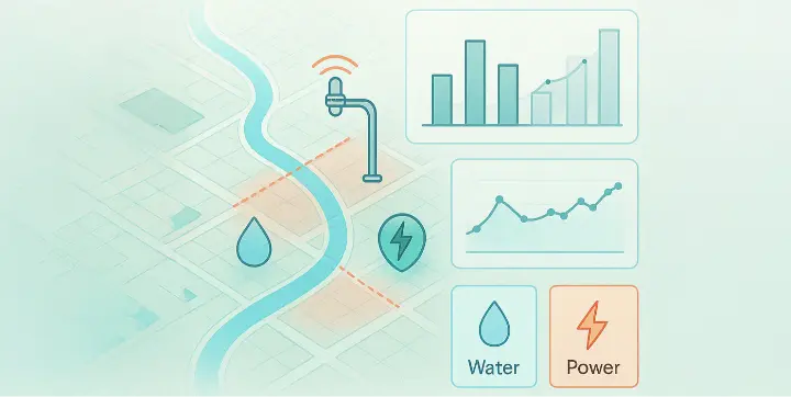
Monitor and manage water, power, and civic infrastructure such as smart street lighting with IoT-enabled dashboards that enhance efficiency and transparency.

Smart city planning, mobility solutions, and infrastructure mapping.

Efficient highways, public transport planning, and asset monitoring.
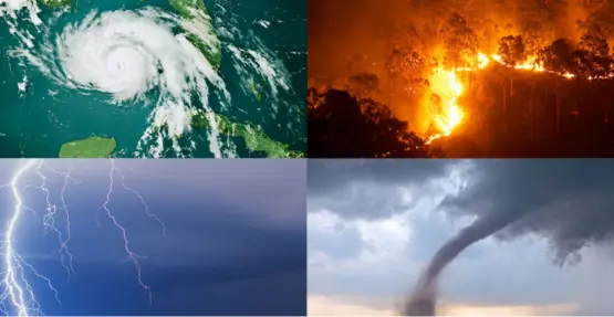
Predictive hazard analysis, evacuation planning, and emergency response coordination.

Smart grids, renewable energy integration, and efficient resource management.

Exploration mapping, asset monitoring, and environmental impact management.